Infos :
Pictures :
Site Links :
Help of Travel :
|
|
Botswana : Transportation
Prepare your travel to Botswana
I. Compare to rent your car in Botswana
II. General Information
Physical infrastructure: 4343 km of paved roads and 14,089 km of tracks.
There is no waterway.
The rail network: 888 km.
Airstrips: 92 (including 10 with paved runways).
Distance Table:
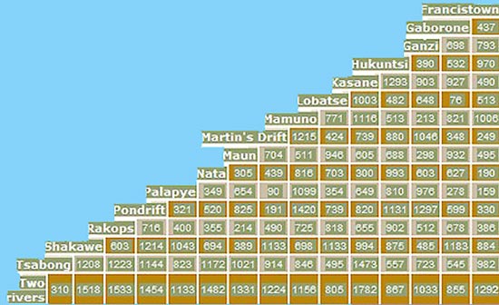
Table of distance between the cities of Botswana
III. Roads in Botswana Pics
name of the road: A1
Stage: Gaborone - Palapye
Quality: tar
Average speed (standard drive): 100 km
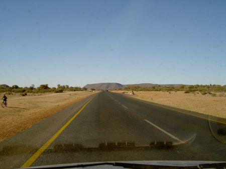 name of the road:
 A2
Stage: Ghanzi - Gaborone
Quality: tar
Average speed (standard drive): 100 km
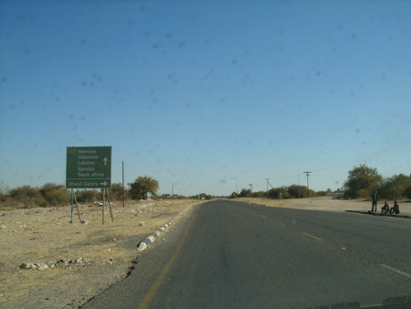 name of the road:
 A3
Stage: Kazungula - Nata
Quality: tar
Average speed (standard drive): 100 km
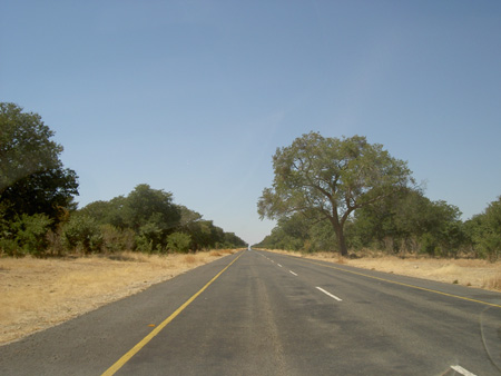
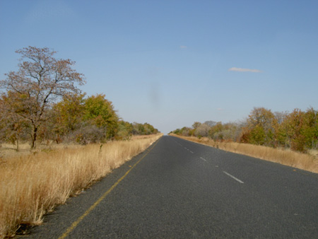 name of the road:
 Ngoma - Kasane
Quality: tar
Average speed (standard drive): 80 km
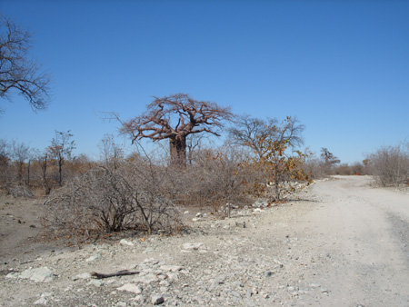
 name of the road:
 Track Planet Baobab
Quality: stones
Average speed (standard drive): 10 km
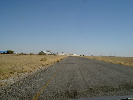
 name of the road:
 Sua Pan Road
Quality: tar
Average speed (standard drive): 90 km
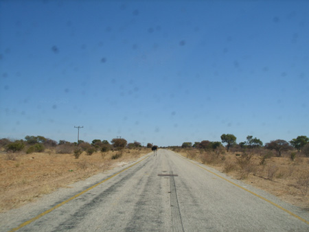
 name of the road:
 Kang Road - tshan
Quality: tar
Average speed (standard drive): 100 km
III. Major airports in Botswana
Of the 85 airports across the country, 10 have paved runways and 75 unpaved.
The airport is Gaborone? International.
Two other airports (Maun & Kasane) provide carts at the regional level.
Official website of the airline from Botswana:
http://www.airbotswana.co.bw
IV. Map and information by railway in Botswana
 Railway Network Map in Botswana
Links:
- Site of the Ministry of Labour and Transport Batswana
http://www.mwt.gov.bw
- Site of the Ministry of Labour and Transport Batswana (Roads Department):
http://www.roads.gov.bw
V. Transit of Botswana
Bus: A bus service connects Gaborone to Francistown and Maun.
Source : 2008
|
|
|
|
|
|
|
|


